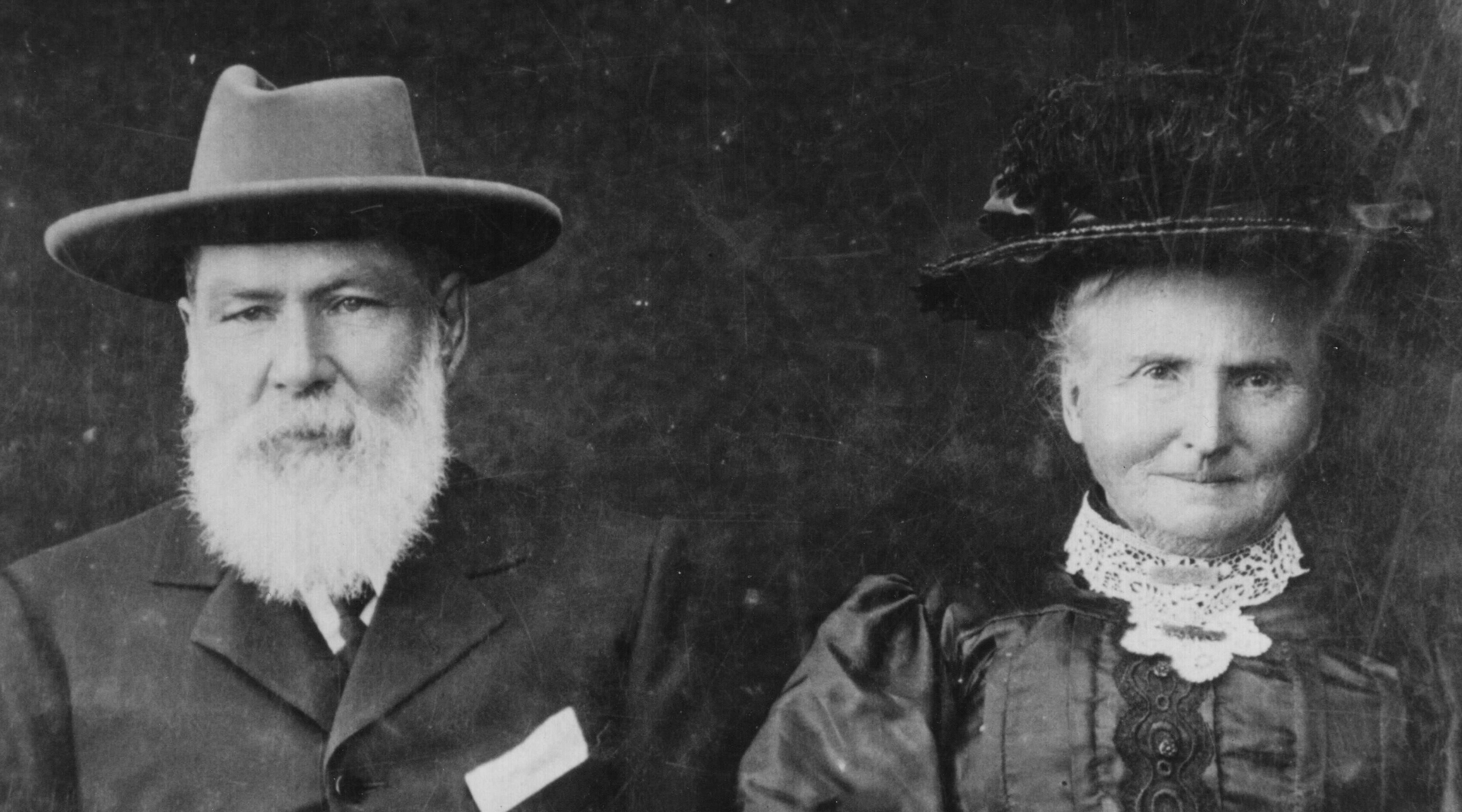

One of the main purposes of this blog is to share photos that are gathering dust in cupboards and drawers. I have posted about the most famous photo of the Two Mile Hotel here and a 1978 interview with Jim Waddell (son of George Waddell, who owned the Two Mile Hotel) . I realised that I also have a 2nd photo of the hotel that I havent shared….
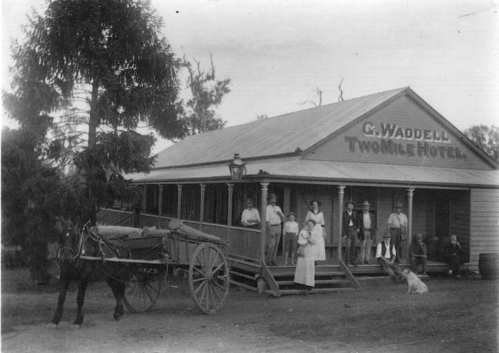
This is the most famous photo of the Two Mile Hotel – it pops up everywhere – and it was just down the road from the Two Mile School (which still exists)
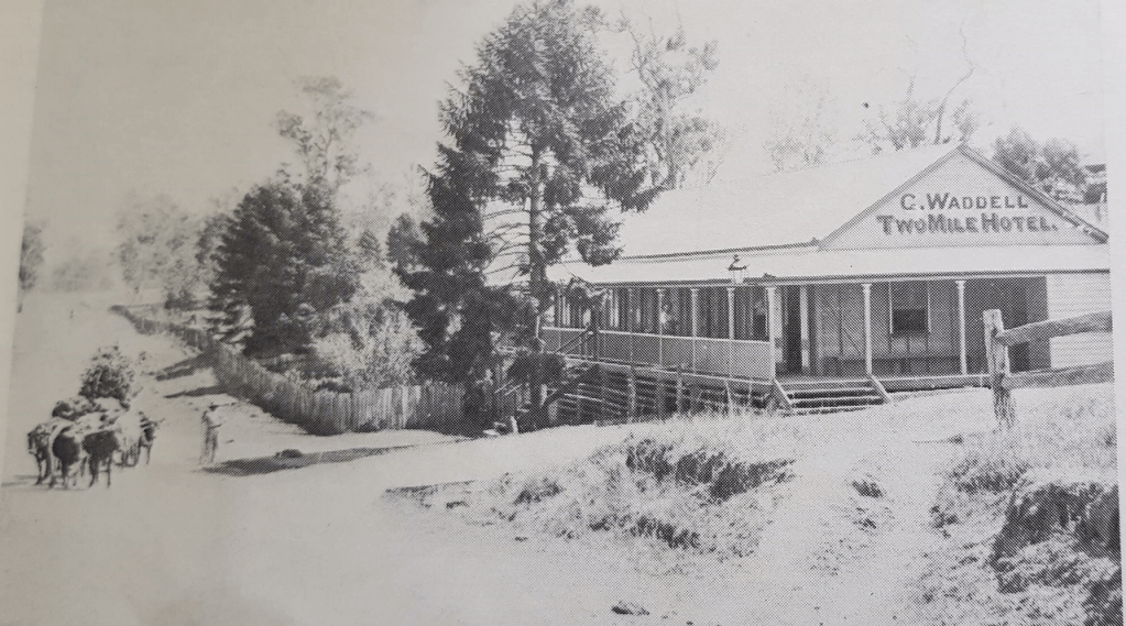
There is also a 2nd photo, showing the main road and frontage onto the main road (which is now the Bruce Highway). I havent seen this photo on public sites so far, although I am told it appeared in a Two Mile School Centenary booklet. It shows the long verandah and stairs more clearly, and the fence as well as a bullock team in the middle of the main road.
The Two Mile hotel is clearly marked on the 1909 topographic maps of the Gympie area, on Chatsworth Road, two blocks over from the Two Mile School:

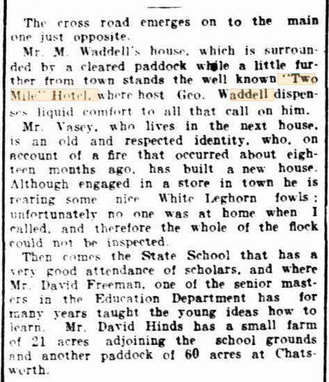
A reporter described the houses and features of the Chatworth Road in 25 Feb 1905 [2] and the “liquid comfort” dispensed at the Two Mile Hotel:
George Waddell sold the Two Mile Hotel before burned down in 1920 – but the road is still named after the Waddells (even if it is misspelled as Wadell!) https://goo.gl/maps/6syesTaa7F9bMLkV7
Sources:
[1] https://www.data.qld.gov.au/dataset/historical-topographic-map-series-queensland/resource/4be391aa-0f45-4b9a-a98f-c8f46ec079a4 and https://gisservices.information.qld.gov.au/arcgis/rest/directories/historicalscans/topo_scans/topo-map-6chain-line-colour-gympie-sh6-1909.jpg
[2] Gympie and District Farming & Grazing. (1905, February 25). Gympie Times and Mary River Mining Gazette (Qld. : 1868 – 1919), p. 4. http://nla.gov.au/nla.news-article188059875
